Walking around Cahir comes in three sizes. There is an easy riverside path from the middle of the town, a set of forest loops half an hour's walk from the Square, and the Galtee Mountains for a proper day out. You can do all three from the same base, which is the good thing about the town.
The riverside walk
The Coronation Walk runs south from Cahir Castle along the Suir to the Swiss Cottage, about two kilometres each way on a flat, surfaced, shaded path. It is the walk to do with anybody, of any age, and it takes about an hour and a half there and back before you stop anywhere.
The woodland along it was planted from the 1790s as part of the Cahir estate and has grown into mature beech, oak, sycamore and Spanish chestnut. Swans and ducks on the water, red squirrels above you if you are lucky.
The Coronation Walk has its own page with the detail.
Scaragh Wood
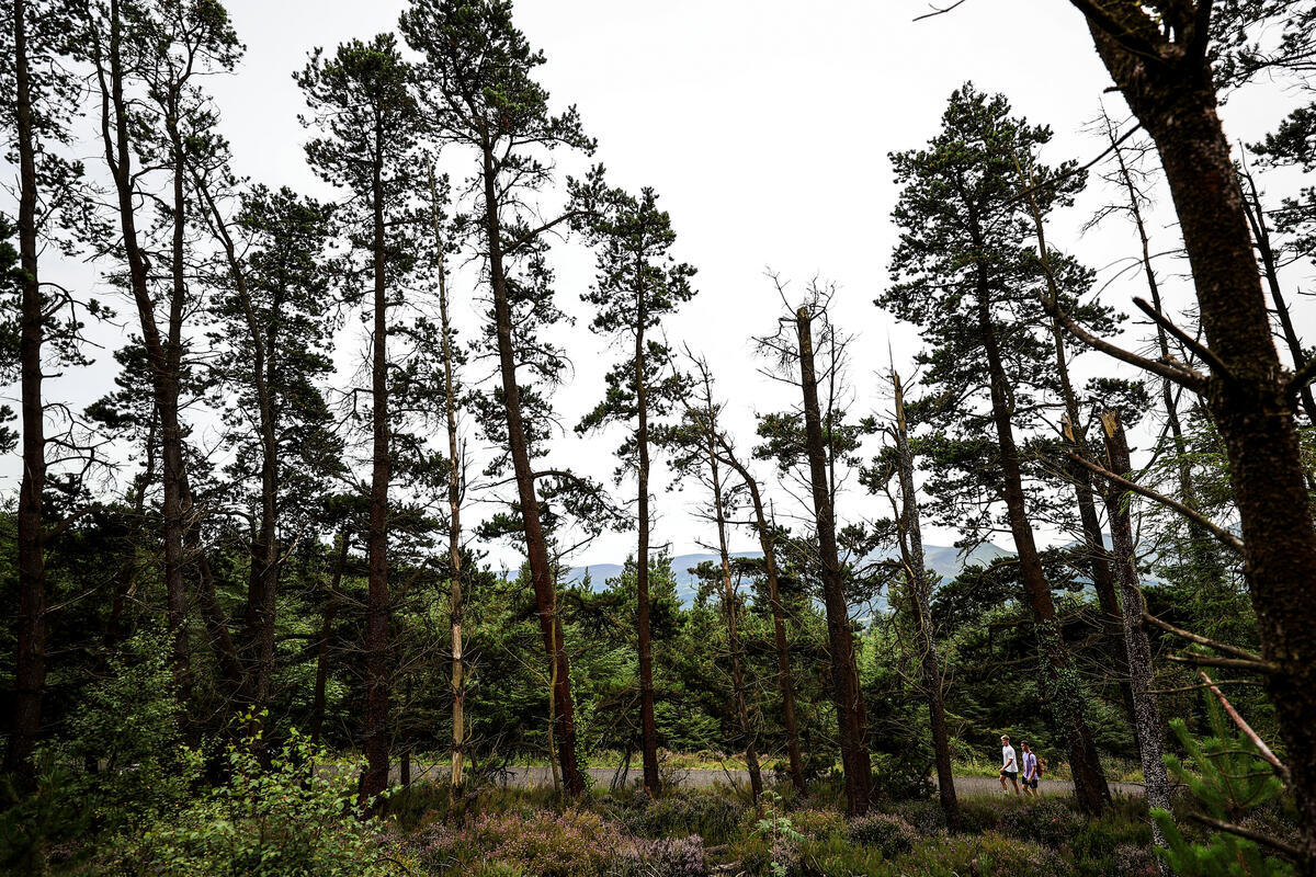
Scaragh Wood sits on the eastern slopes of the Galtees, about thirty minutes on foot from the centre of Cahir, and is the step up from the river. It is mature mixed woodland with three waymarked Coillte loops:
- Green, 3.8km, the easy one
- Blue, 4.8km, moderate
- Red, 6.2km, strenuous
The trails open out in places to views of the Galtees on one side and down over Cahir town on the other, and from the higher sections you can see across to the Knockmealdowns. The Lissava portal tomb is on the route: a genuine prehistoric monument, sitting in a forest, with none of the apparatus of a visitor attraction around it. Red squirrels here too.
To drive to the start, take the Mountain Road up opposite the Abbey Tavern off the Tipperary road, and after the flyover turn left and continue about half a mile to the Coillte car park.
The Red loop is called strenuous for a reason: it is not long, but it climbs. Boots rather than trainers.
The Galtee Mountains
The Galtees are the highest inland mountain range in Ireland and they rise directly behind Cahir, which means a serious hill day starts within twenty minutes of the town.
Galtymore is the summit most people come for. The usual out and back route is around 10.7km with roughly 815 metres of ascent and takes most walkers three to three and a half hours. It is not technical, but it is a mountain: the ground is wet, the weather changes fast and the top is frequently in cloud.
Go properly equipped. Take a map and a compass and know how to use them. Check the forecast on the morning, not the night before. This is not a walk to attempt in poor visibility if you have not been up before.
The Glen of Aherlow is the far side of the same hills, about half an hour from Cahir by road, and has its own network of marked loops.
Choosing
If you have an afternoon and a mixed group, take the riverside walk. For a proper leg stretch without committing to a mountain, take a Scaragh loop. For a hill day, with the gear and the weather to match, take Galtymore.
Practical
Cahir is the base for all of it. Cafes in Cahir is the coffee before, the pubs and the restaurants are the reward after, and camping near Cahir and bed and breakfast in Cahir cover staying.
On wheels instead of boots, cycling routes near Cahir covers the roads and the Blueway.